| 2006 |

|
YEAR BOOK |
Geological Survey of Northern Ireland
|
New geoscience surveys of Northern Ireland progress of the Tellus Project
|
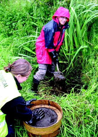
Rural areas of have now been covered by three geochemical surveys:
-
Soil sampling at a spacing of one site per 2km2 at two depths, 20cm and 50cm,
-
Sampling of sediments from first and second order streams, at an average interval of one site per 2.16 km
2
of land area,
-
Stream water sampling at the same sites.
The project sampled soils in Belfast and Londonderry at a closer interval of four sites per km2. Additionally in these urban areas, samples for organic analysis were collected at one site per km 2 and analysed for a range of semi-volatile organic carbon compounds, PCBs and other contaminants. These results will reflect the industrial history of these cities and provide baseline data for land-use planning and the prioritization of remediation work.
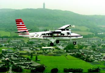
The low-level regional airborne geophysical survey of Northern Ireland began in July 2005 was completed by May 2006. The operation was flown for Tellus by the Joint Airborne-geoscience Capability, a partnership of BGS and the Geological Survey of Finland. The survey aircraft, a De Havilland Twin Otter, was equipped with two magnetometer sensors, a four-frequency electromagnetic (EM) system and a 256-channel gamma-ray spectrometer. The survey parameters were:
-
ground clearance: 56m over rural areas and 250m over populated areas,
-
line spacing: 200m,
-
line direction: 345° and 165°.
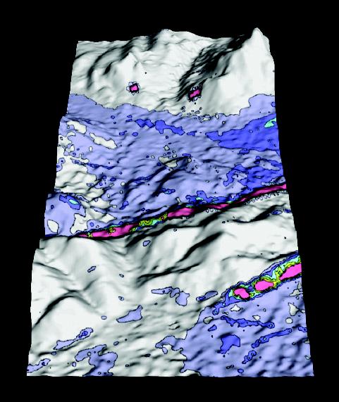
Gamma-ray results show gross differences in the radioactivity of different lithologies and soils. The principal isotopes mapped are those of the uranium and thorium series and potassium-40. The data are being used experimentally to improve the mapping of radon potential, radon being a short-lived gaseous isotope in the uranium and thorium series. Reduced gamma radioactivity indicates absorption by water or peat, and there is a very close correlation between the mapped outline of peat and a certain gamma-ray amplitude; the variation in this amplitude may be useful as a means of mapping peat thickness.
Tellus data are available under licence and GSNI wishes promote the widest possible use of this valuable new dataset. Several collaborative research projects have already been initiated and GSNI welcomes further applications and proposals.
Contact: Mike Young or Dr Marie Cowan,
Tellus Project, GSNI, Colby House, Stranmillis, Belfast BT9 5BF;
Tel 028 9038 8462;
E-mail: [email protected] , [email protected] .